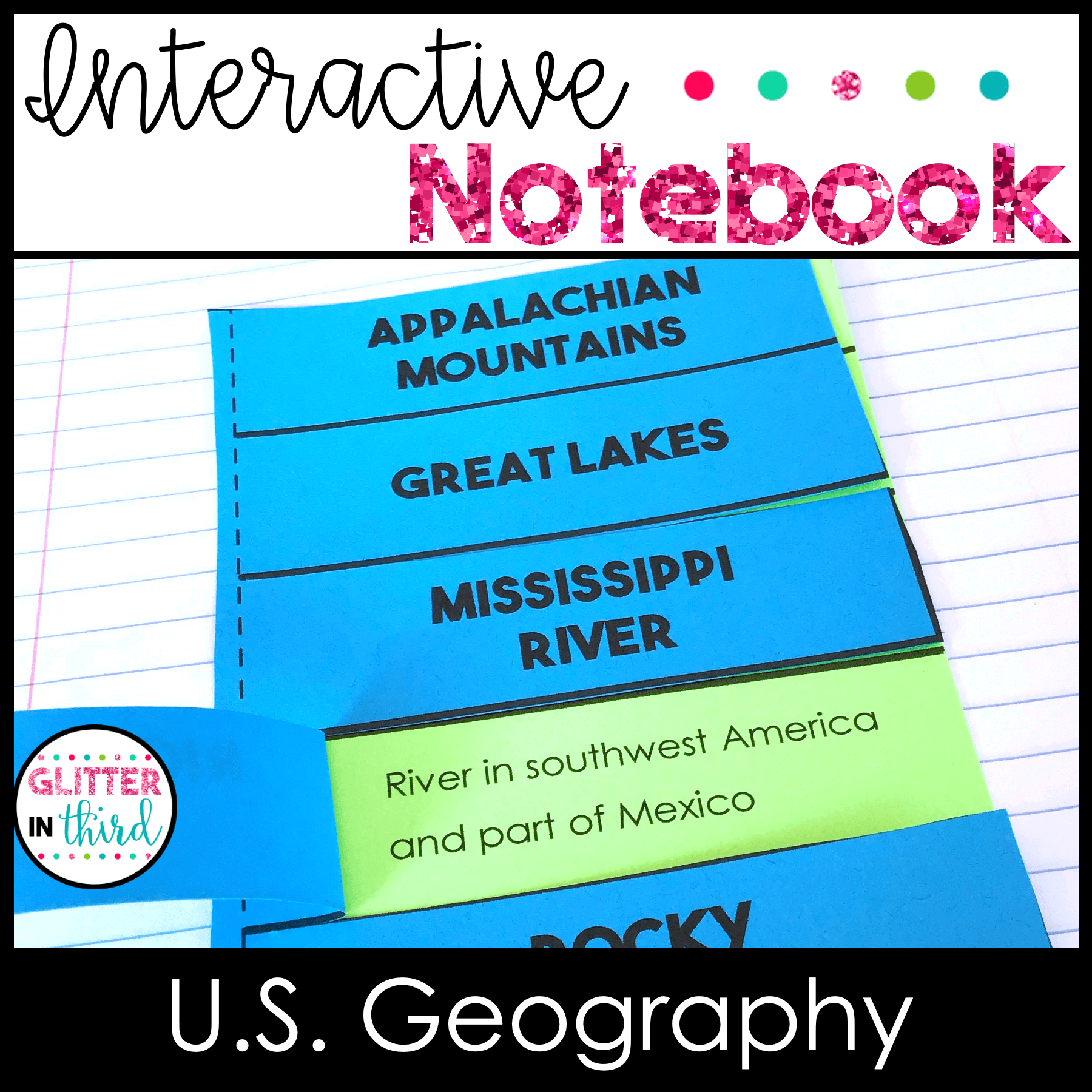

Teach U.S. geography and map skills with these hands-on 2nd grade social studies activities! Students locate and identify the United States, Canada, Mexico, major oceans, the Mississippi River, Rio Grande, Great Lakes, Rocky Mountains, Appalachian Mountains, and more.
Includes three differentiated versions, teacher directions, real-life image examples, and answer keys. Aligned with the 2023 Virginia Social Studies SOL 2.11.
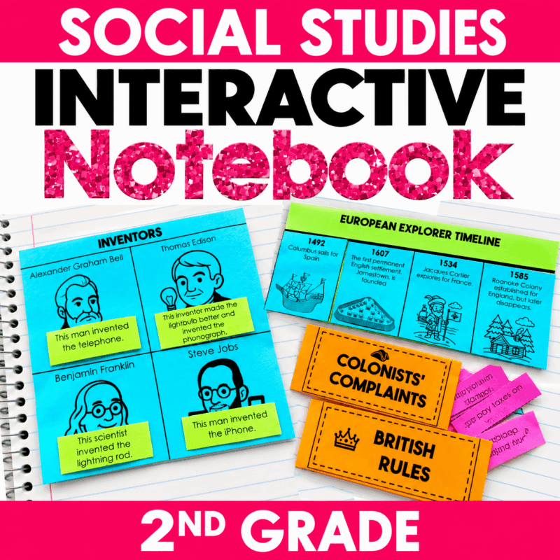
Teach U.S. geography and map skills with these hands-on 2nd grade social studies activities! This printable social studies interactive notebook helps students identify and locate important U.S. rivers, lakes, mountain ranges, neighboring countries, and oceans while building essential geography and mapping skills.
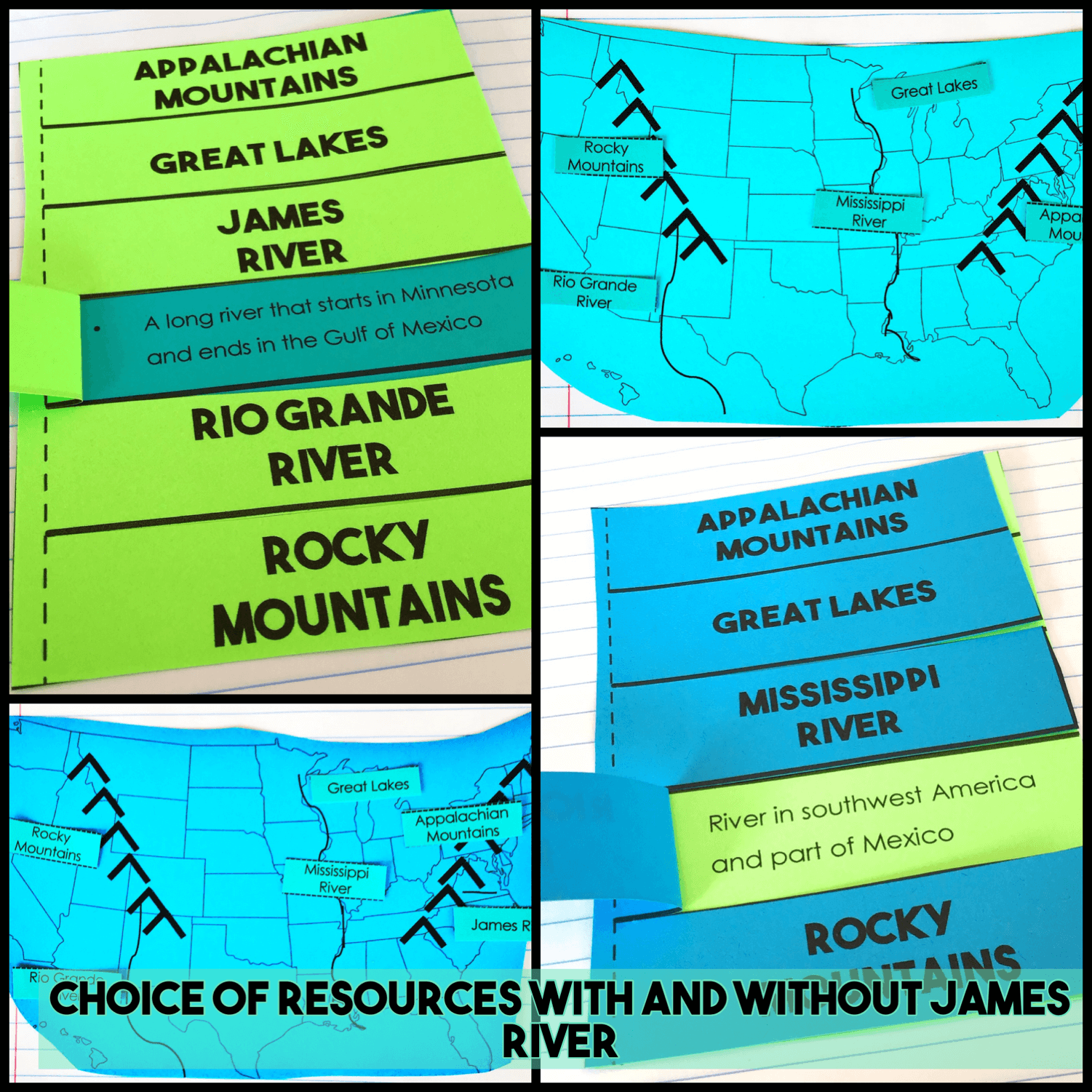
Students locate the Mississippi River, Rio Grande, Great Lakes, Rocky Mountains, Appalachian Mountains, United States, Canada, Mexico, Atlantic Ocean, Pacific Ocean, and Arctic Ocean. An additional James River activity provides a connection to Virginia geography.
Designed for 2nd grade social studies, this resource is aligned with the 2023 Virginia Social Studies SOL 2.11 and provides hands-on practice with U.S. geography, North American geography, physical features, and map skills.
What’s Included
Geography Skills & Features Covered
Students practice identifying and locating:
Students build an understanding of:
Differentiated Interactive Notebook Activities
Three versions are included so you can choose the amount of support that works best for your students:
These options make it easy to differentiate while teaching the same U.S. geography and map skills to your entire class.
Easy to Prep
These printable U.S. geography activities feature simple, student-friendly templates designed to make cutting and assembly manageable for elementary students.
Many pages also provide materials for two students per printed page, helping save paper and reduce classroom prep.
What You Receive
You will receive a printable PDF that includes:
Virginia Social Studies SOL Alignment
This resource aligns with the 2023 Virginia Social Studies SOL 2.11, which asks students to develop geographic mapping skills using world maps and globes by:
These U.S. geography and map skills activities for 2nd grade work well for whole-group social studies instruction, geography units, map skills practice, interactive notebooks, independent practice, and review.
Copyright © Glitter in Third by Kelly Chapman
Please purchase additional licenses if you intend to share this resource with additional teachers.
Reviews
There are no reviews yet.